August 20th – August 23rd 2020 ~ about 27 miles
A few weekends ago I got the opportunity to not only hike through the Enchantments in Leavenworth, WA, but camp there as well! it was an exhilarating, exhausting, and eventful 4 days and 3 nights trip.
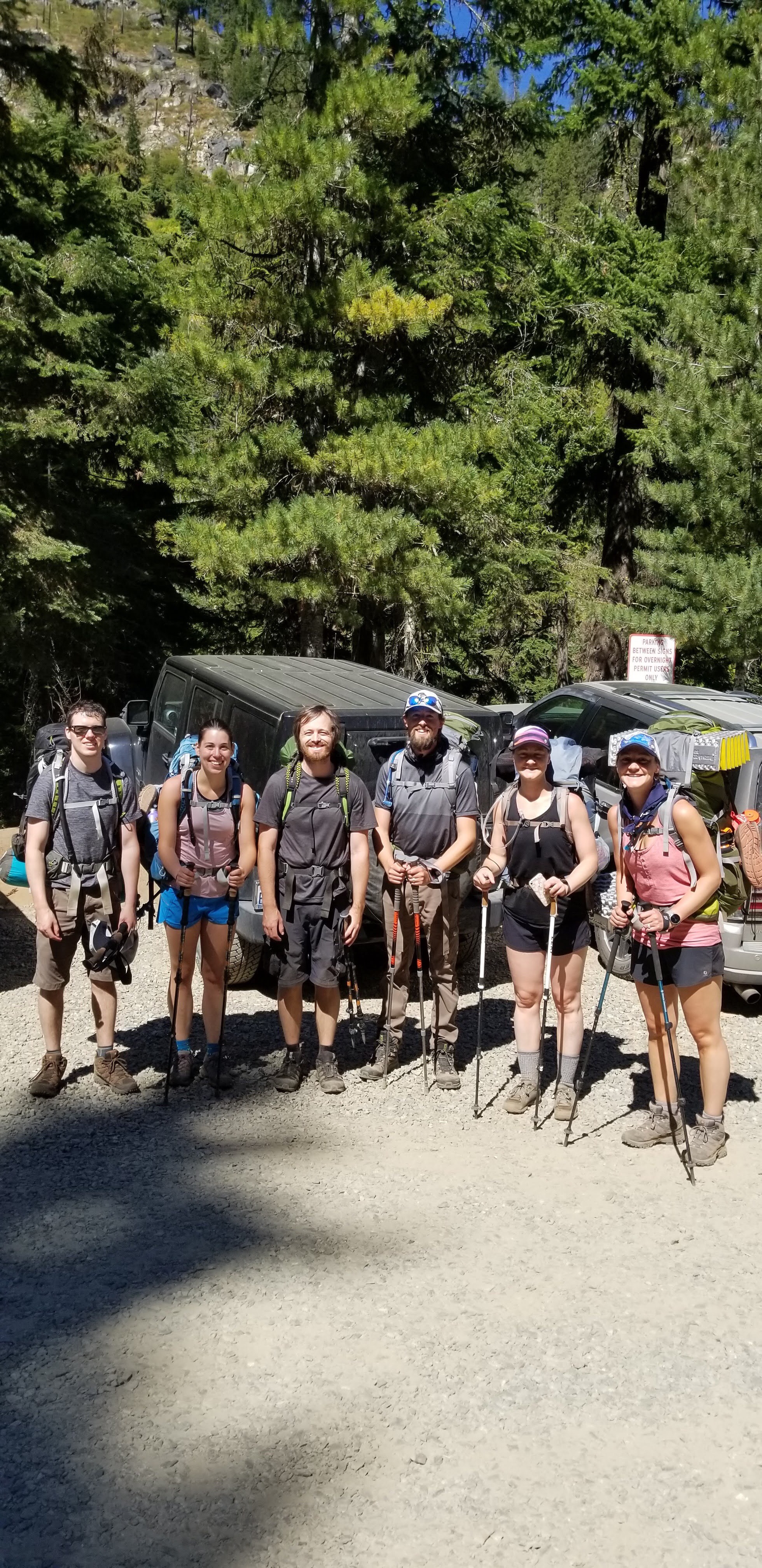
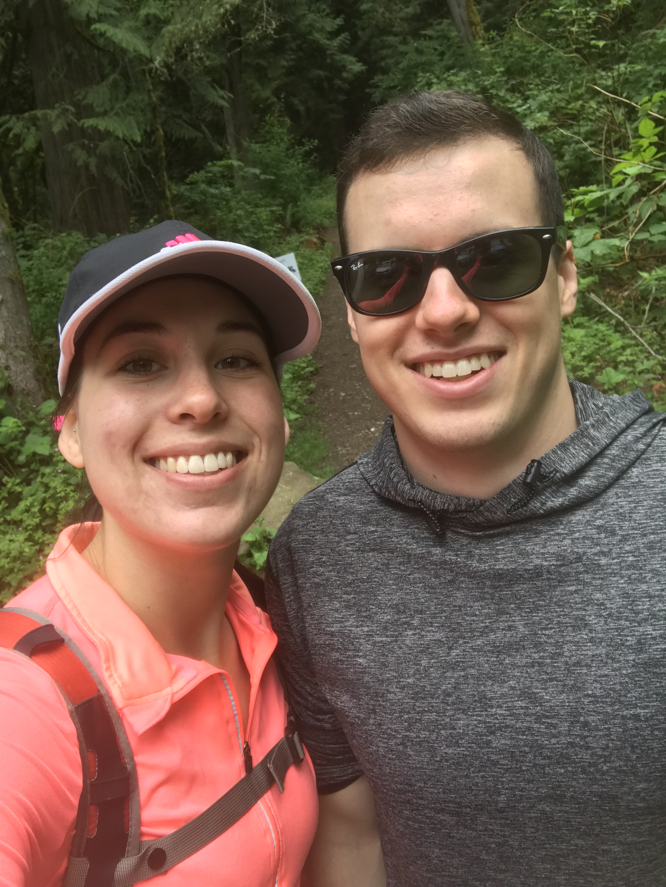
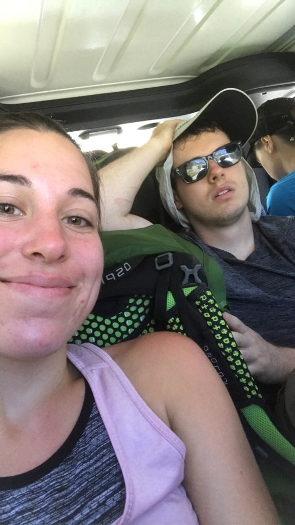
We started the trip off at 2am – Alex and I getting ready, eating a quick breakfast, and driving down to his brothers house.

Testing / packing our bags the night before we left for The Enchantments!! 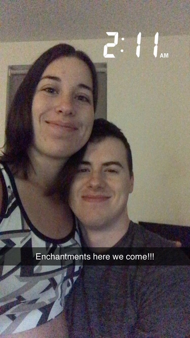
Waking up at 2 am, as you can tell we were both pretty tired after only getting 4 hours of sleep…
From here we carpooled over to Leavenworth with him. About 30 minutes into the drive we realized we forgot the parking pass and permits needed to be in the Enchantments and turned around to grab them. Finally after a 2.5 hour car ride we were in Leavenworth and ready to start our day hike up to Colchuck Lake.
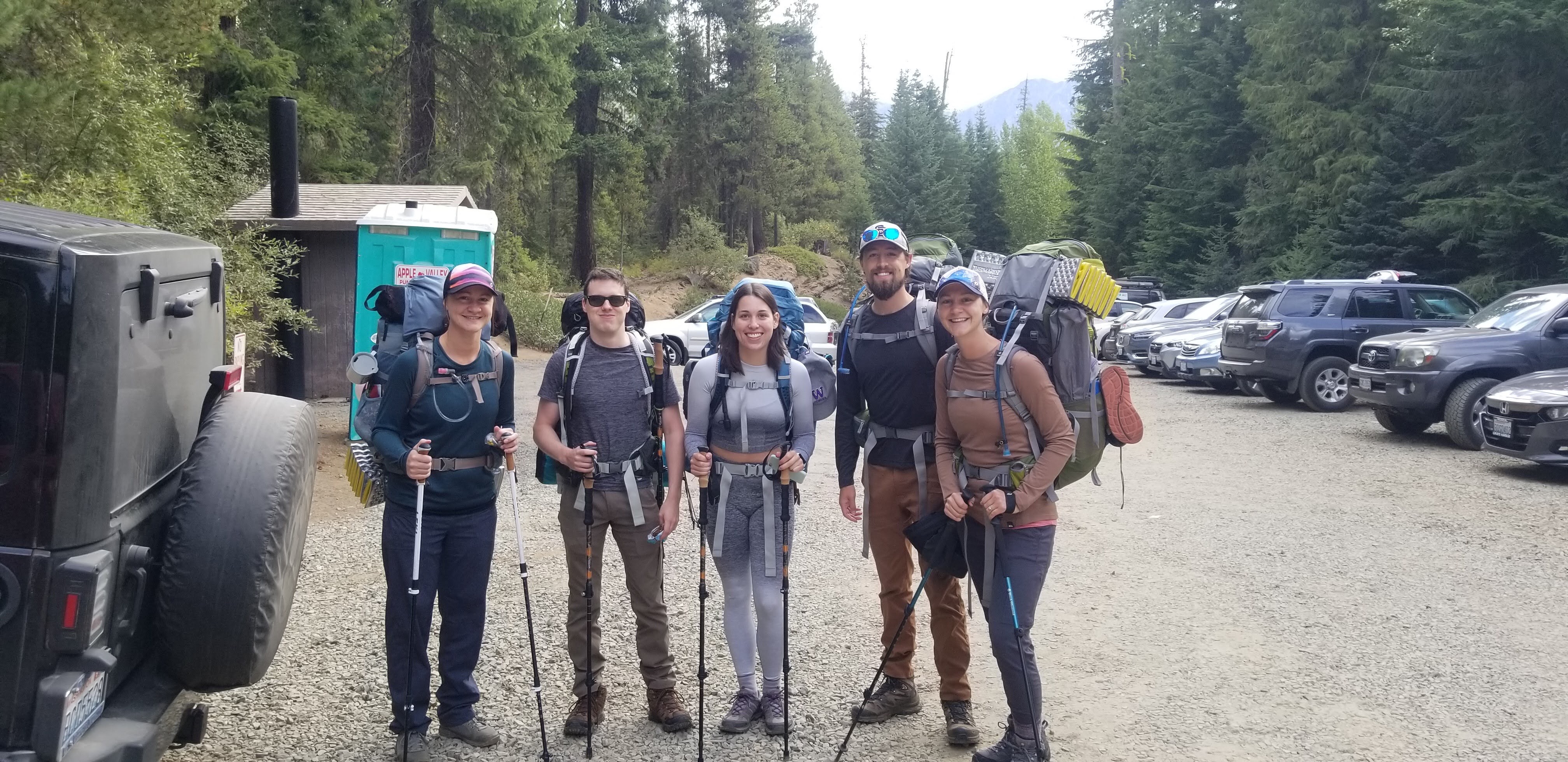
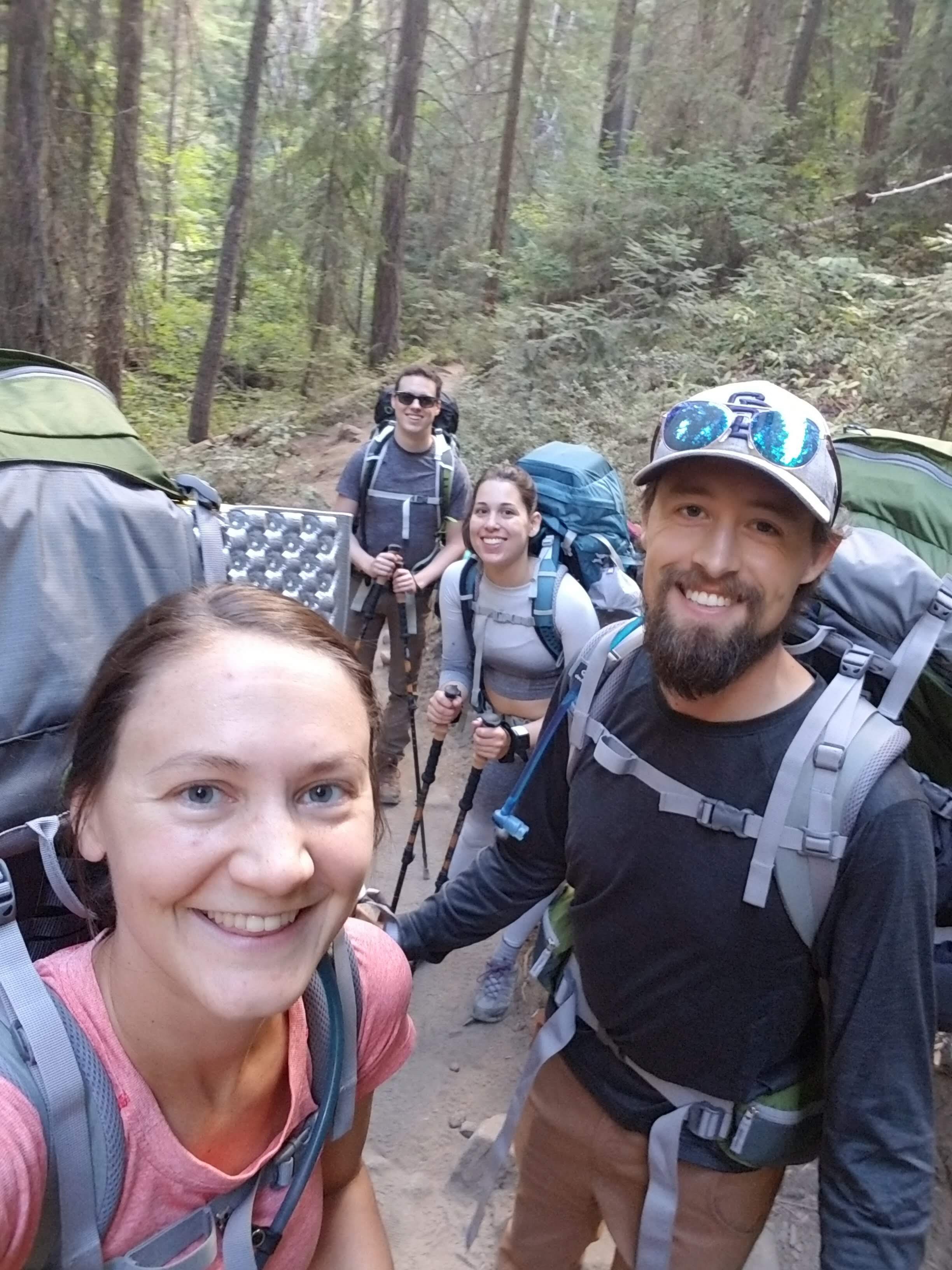
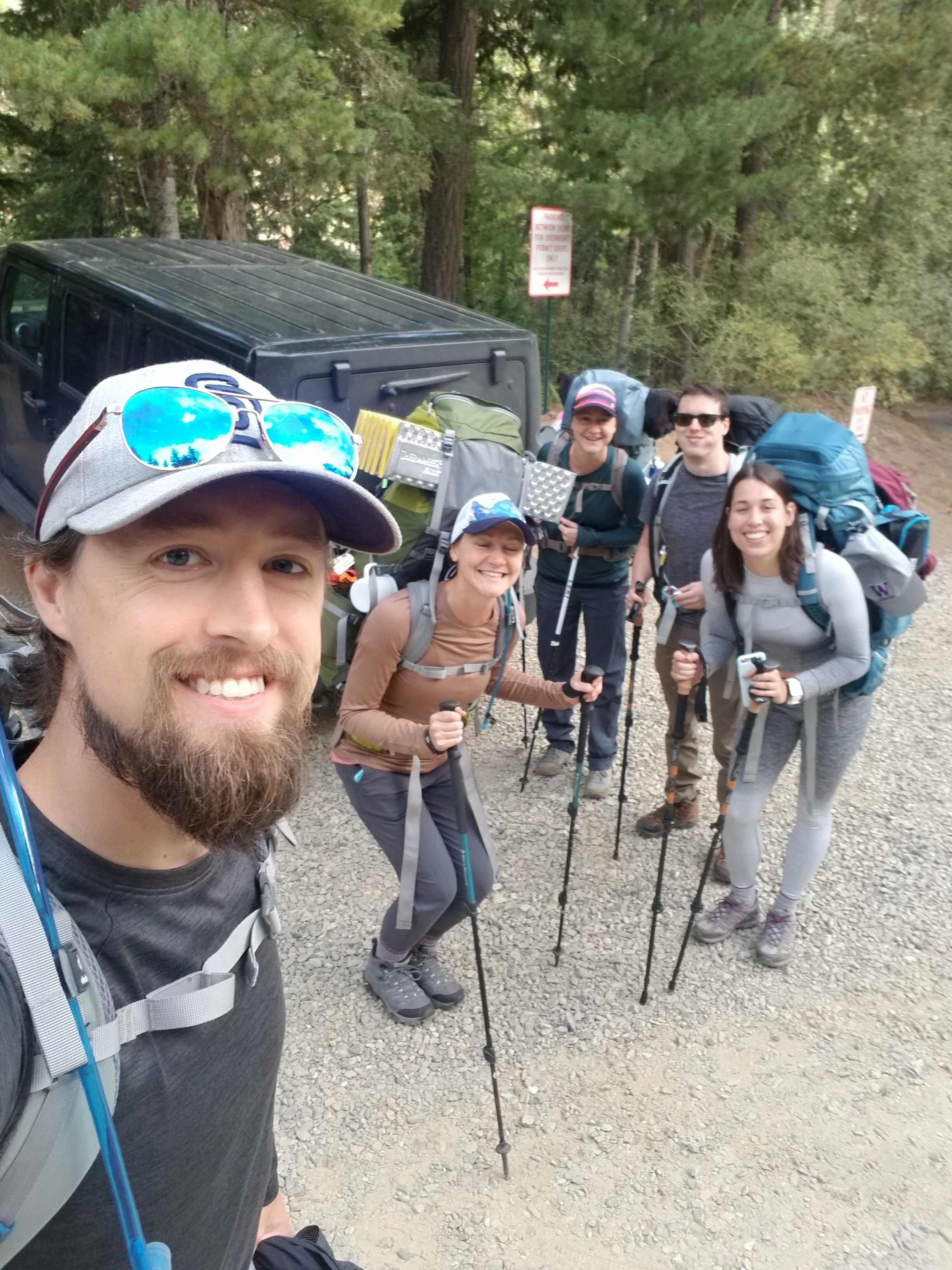
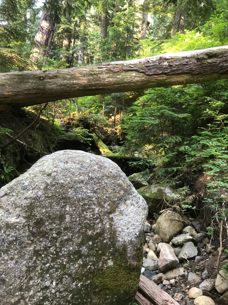
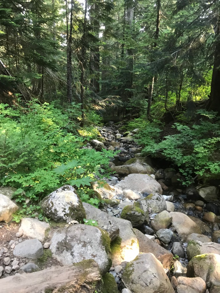
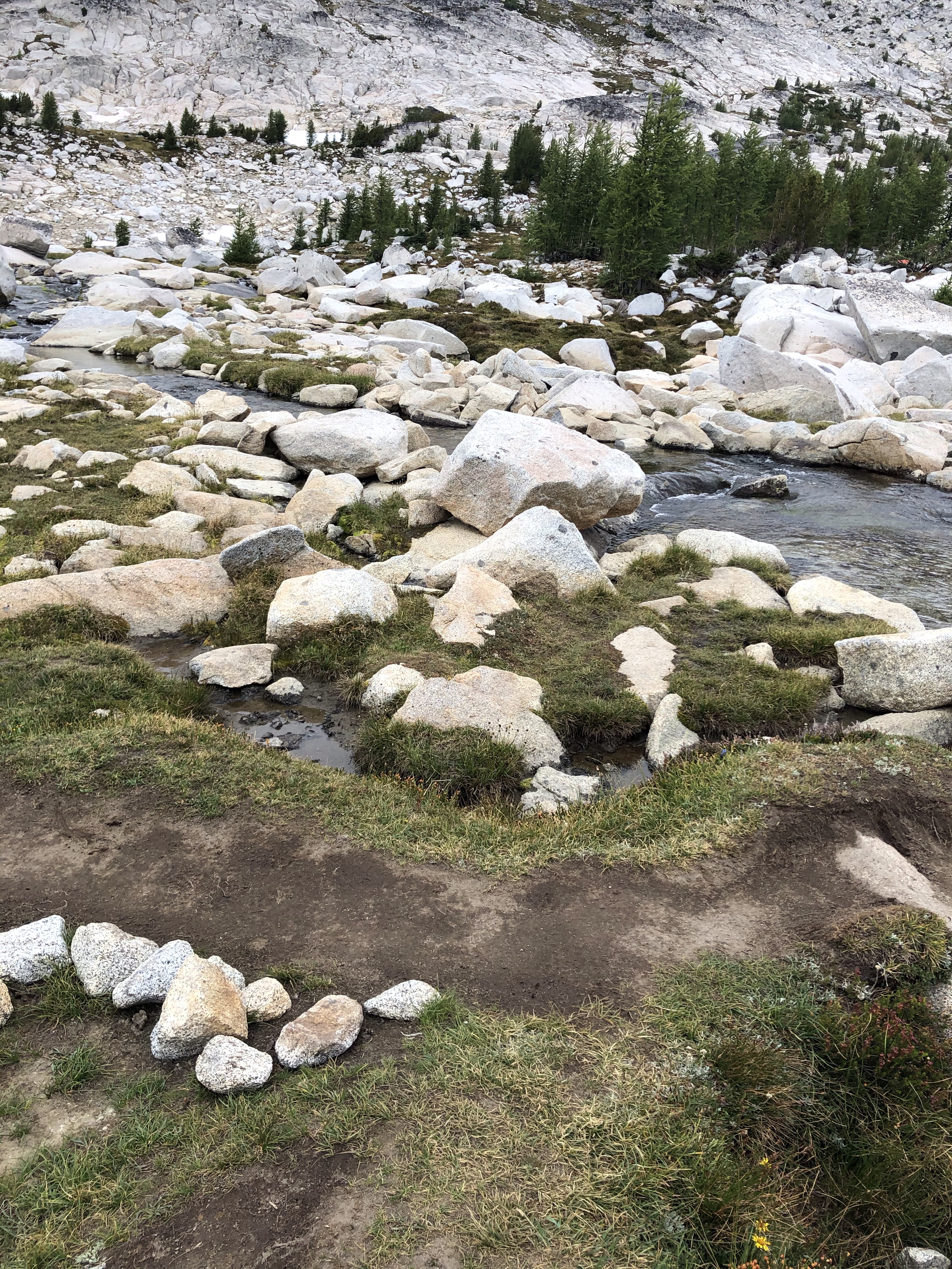
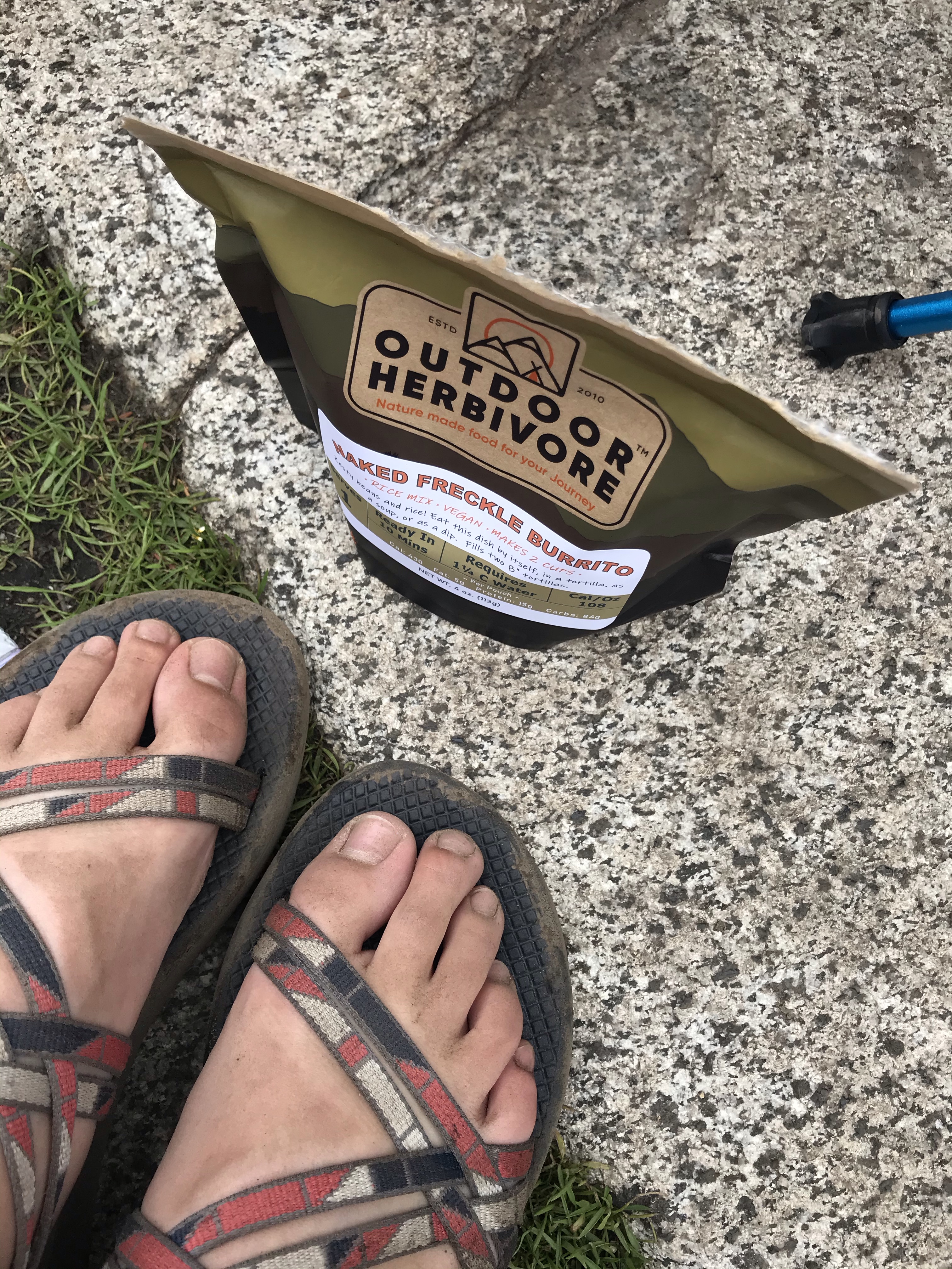
The 4 mile hike up to the lake was hard. We were each carrying about 50 lbs of gear, the sun was out, and we were all tired from getting up at 2 in the morning. This was my first time backpacking and I learned a lot! Once I got the weight in my pack situated correctly (i.e. not carrying all the weight on my shoulders but on my waist) the hike up got a lot easier.
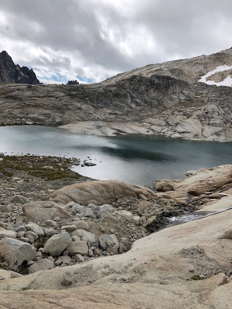
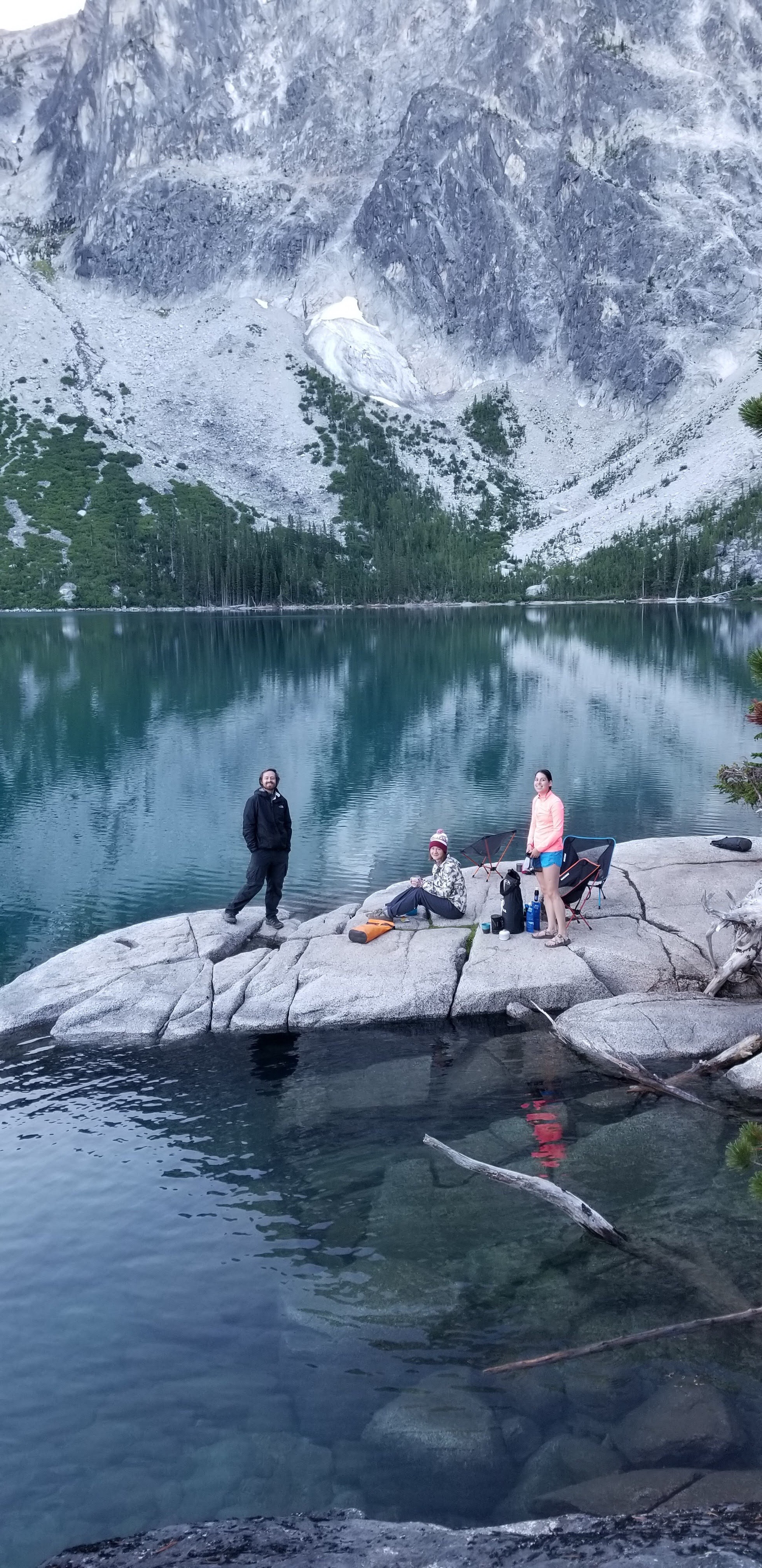
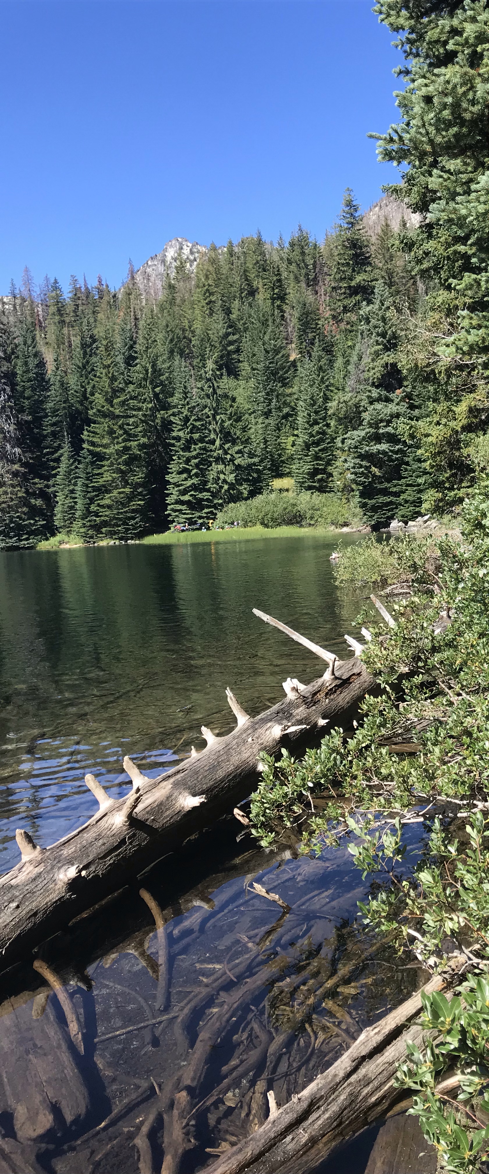
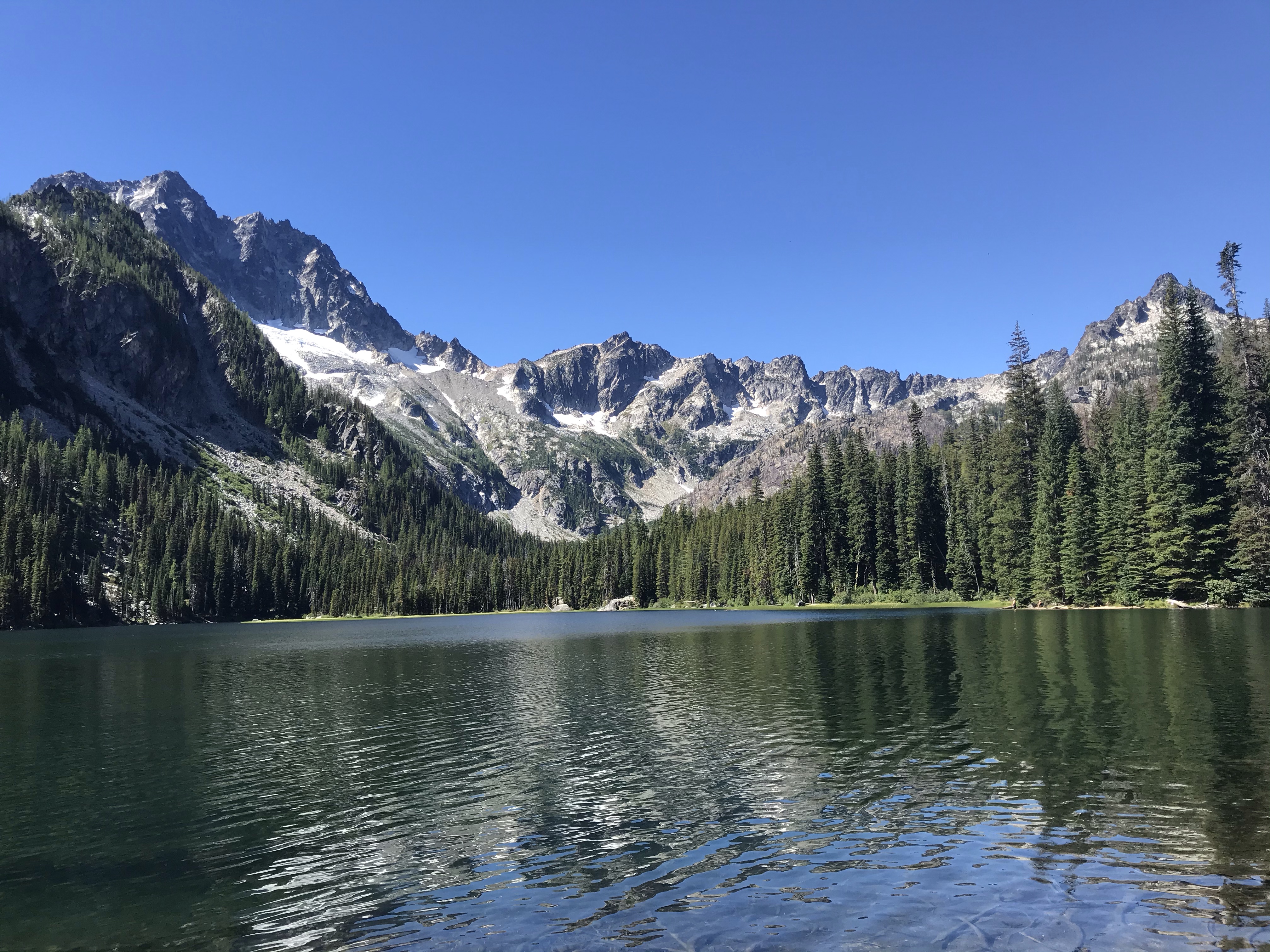
We eventually made it up to Colchuck after many needed stops to rest and hydrate. The lake was beautiful and I couldn’t believe this is where we were setting up camp and calling home for the next 3 nights. Close to the lake we met up with the rest of our group and were told they had found the best campsite on the lake!
Sure enough when we got there and saw it for ourselves we also agreed this was the best spot. It had enough room to set up 6 tents along with a huge rock that went out into the lake. This is where we spent time cooking, swimming, and hanging out.
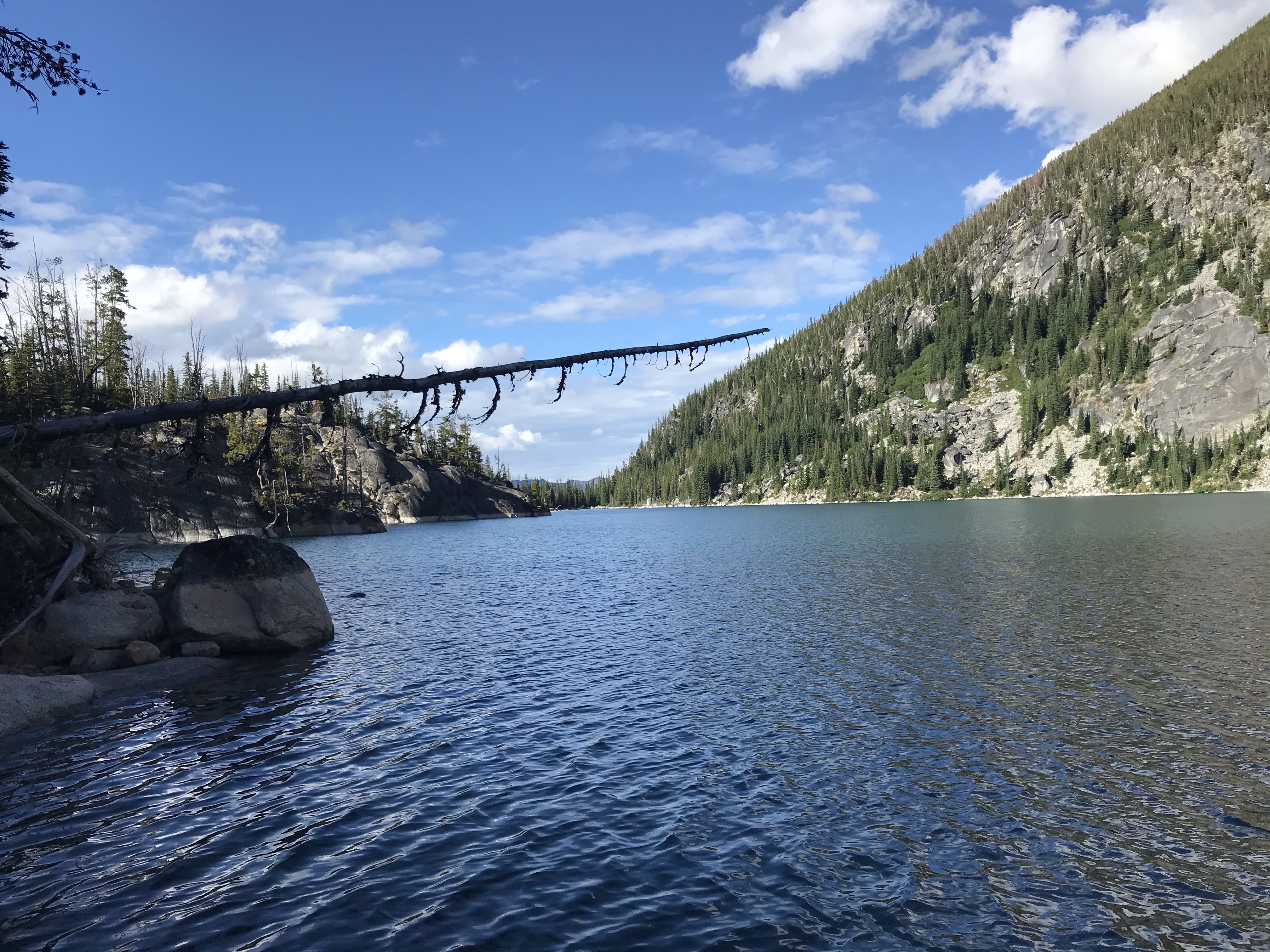
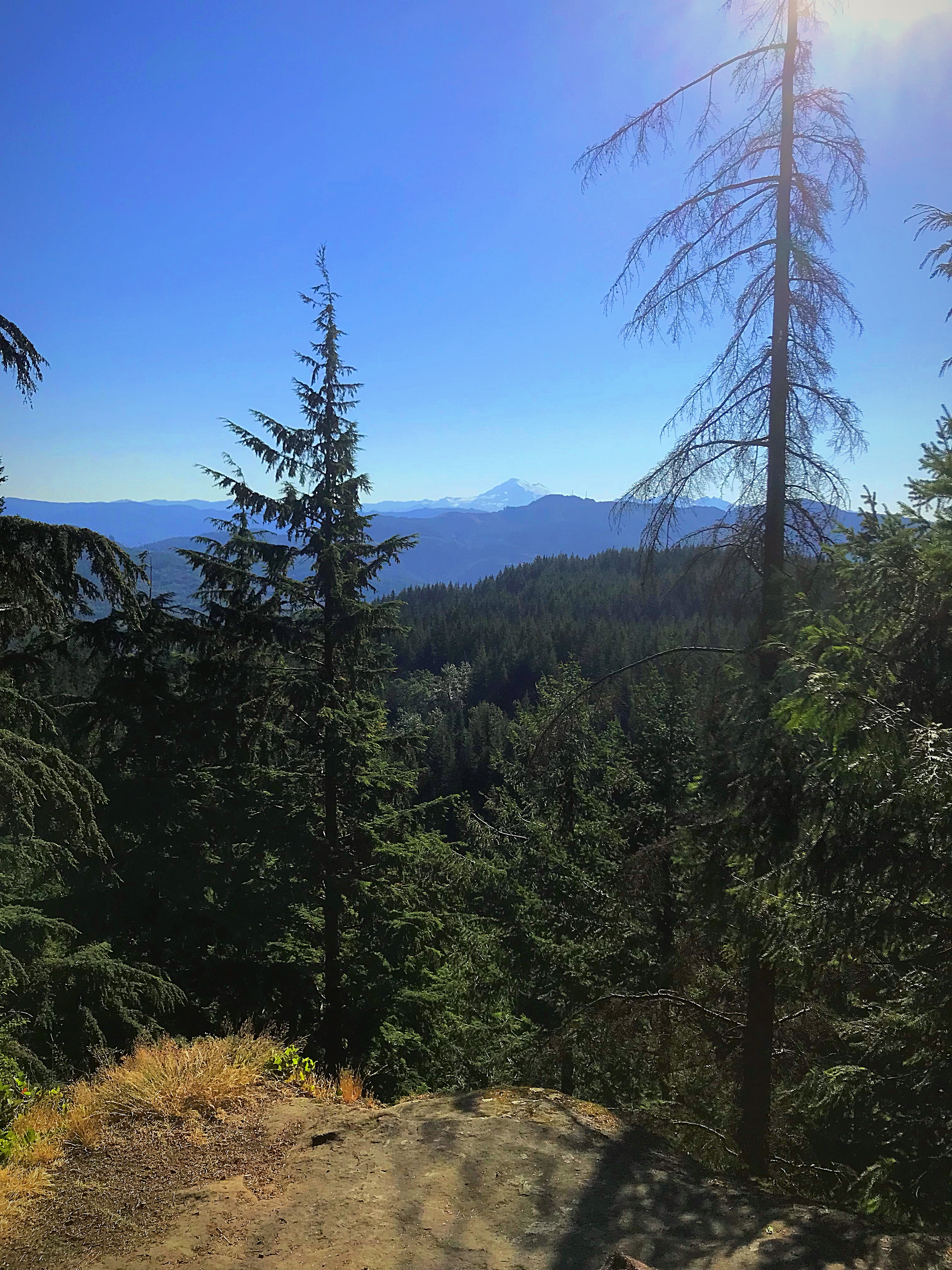
Views from our campsite while out on the rock 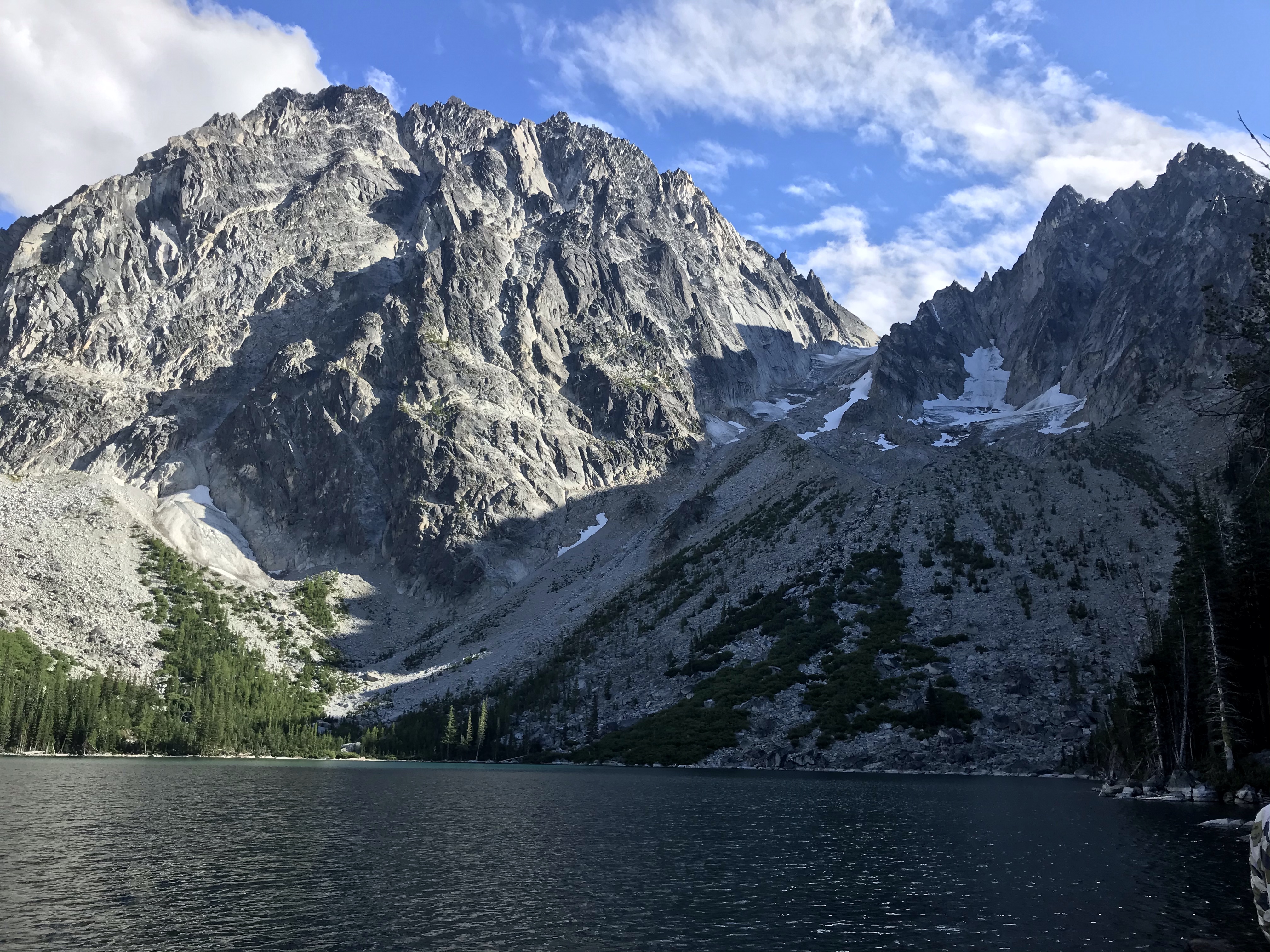
Peep Dragon Tail just to the right of Assgard Pass 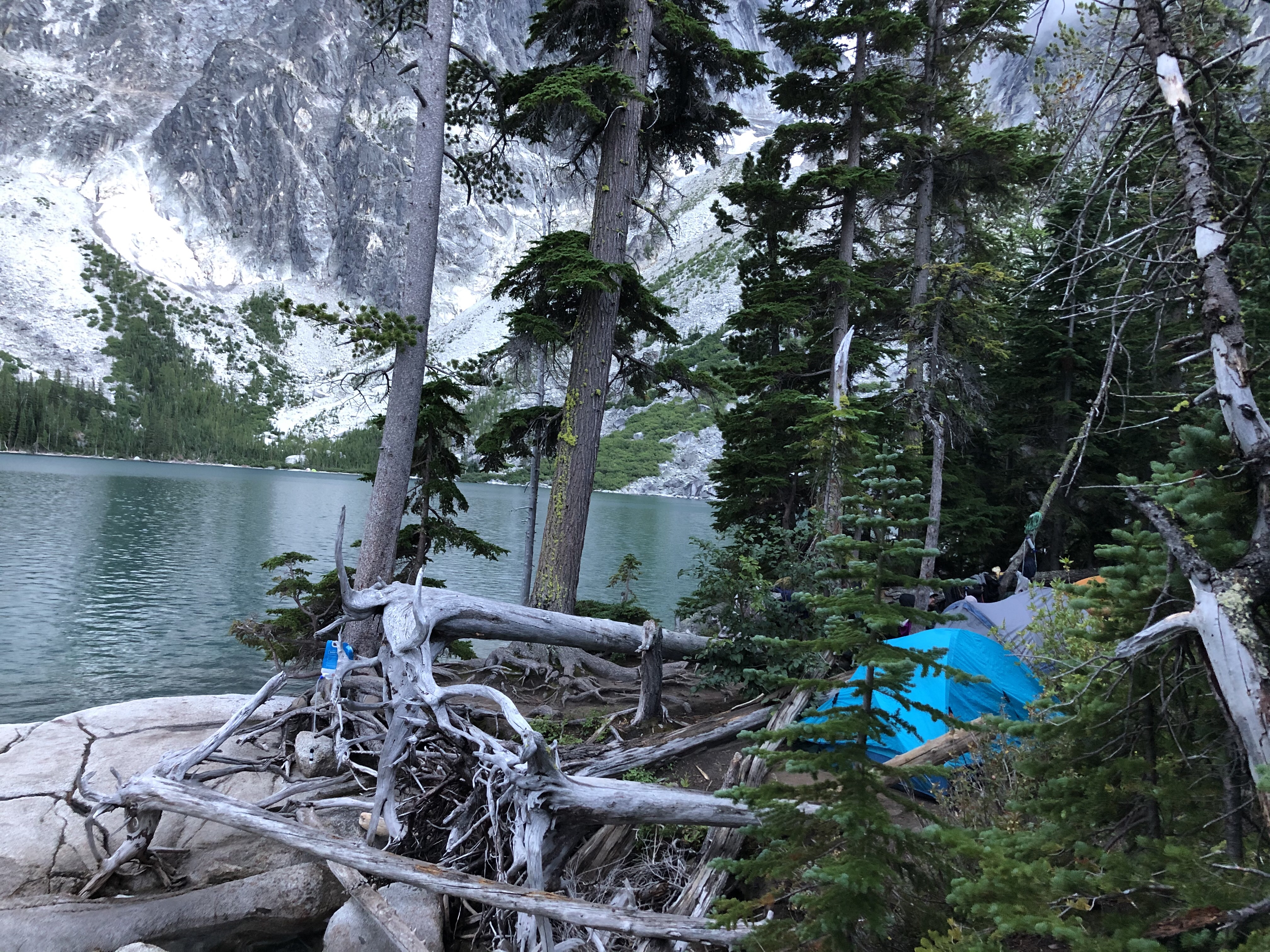
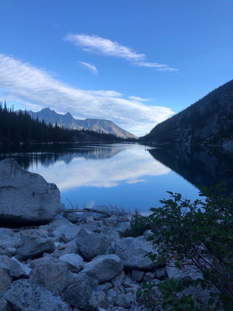
This was taken our last day while we were making breakfast and coffee on our porch / dock overlooking the water 
Assgard Pass, the view directly across the lake from our campsite.
The first day was filled with hiking up to camp, setting up camp, jumping in the lake, and hanging out / getting to know the others in our group. We went to bed fairly early: 7:30pm. We were all so tired from being up at the crack of dawn and wanted to get enough sleep before having to wake up again to hike up Aasgard Pass the next day.
I was surprised at how well I slept the first night, and every night we were there. The only thing that woke me up the first night was the strong winds blowing between the peaks. It went on for about and hour or so. The huge gusts shook our whole tent and the ground. I could hear the waves crash into the side of the lake from the wind. Once this finally subsided I was back to sleep and waking up the next morning to the sunrise!
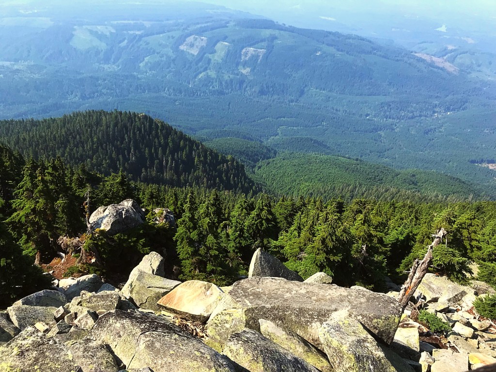
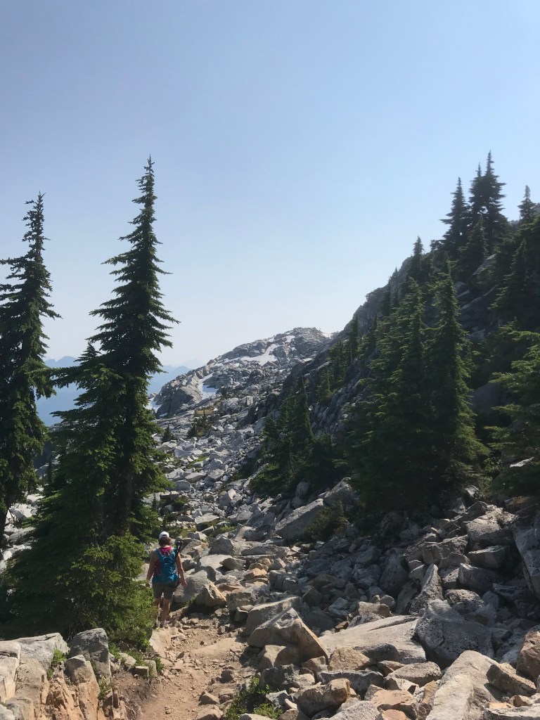
Day two was our big hiking day: Aasgard and all the way to Lake Perfection for lunch. We hiked about 8.7 miles that day, which doesn’t sound like a lot but the elevation gain was about 3,600 ft. Most of which was done within the first part of the hike up Aasgard Pass. It was such a relief once we got up to the top. It was crazy to look down and see just how high we had climbed.
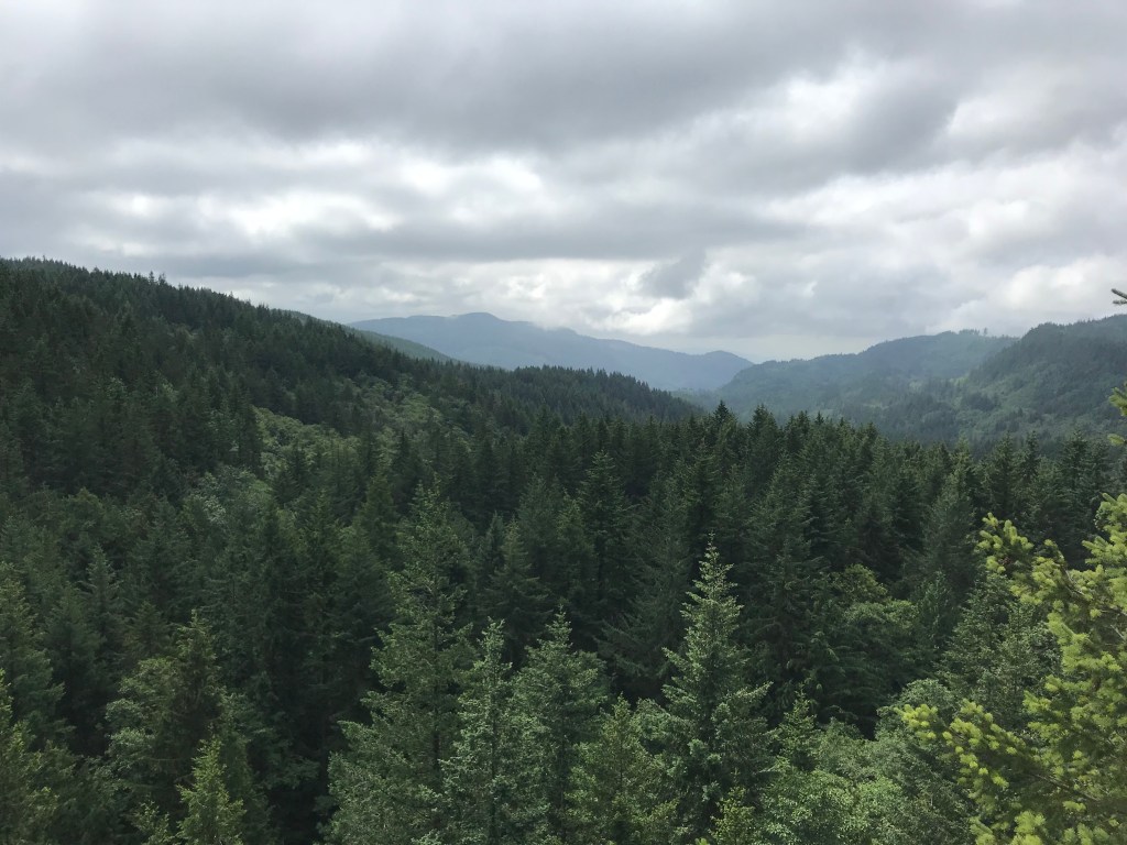
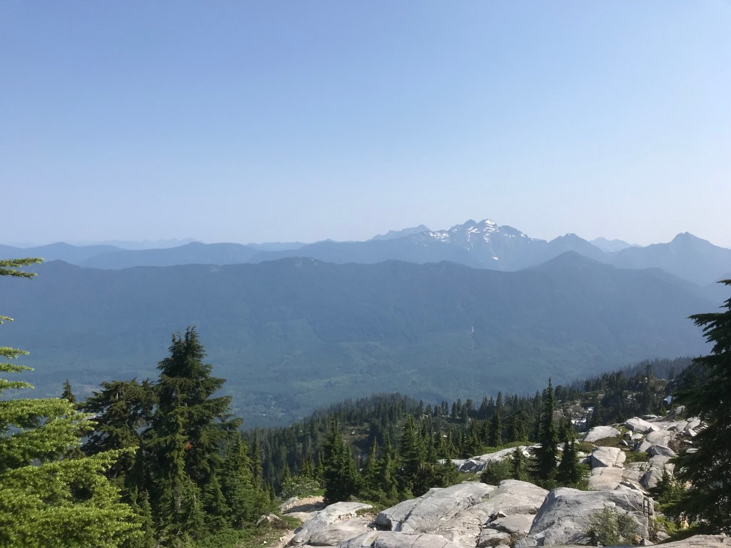
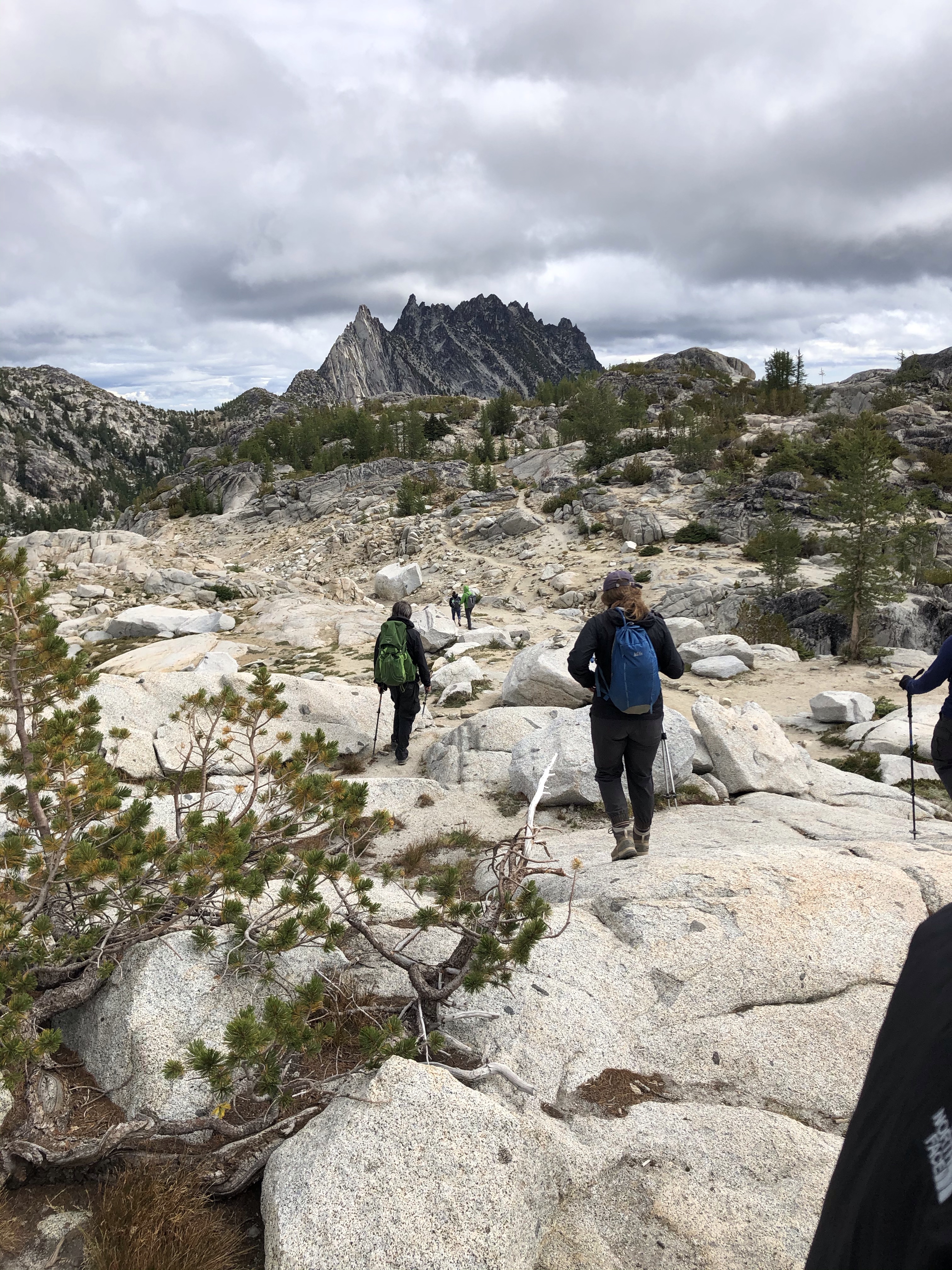
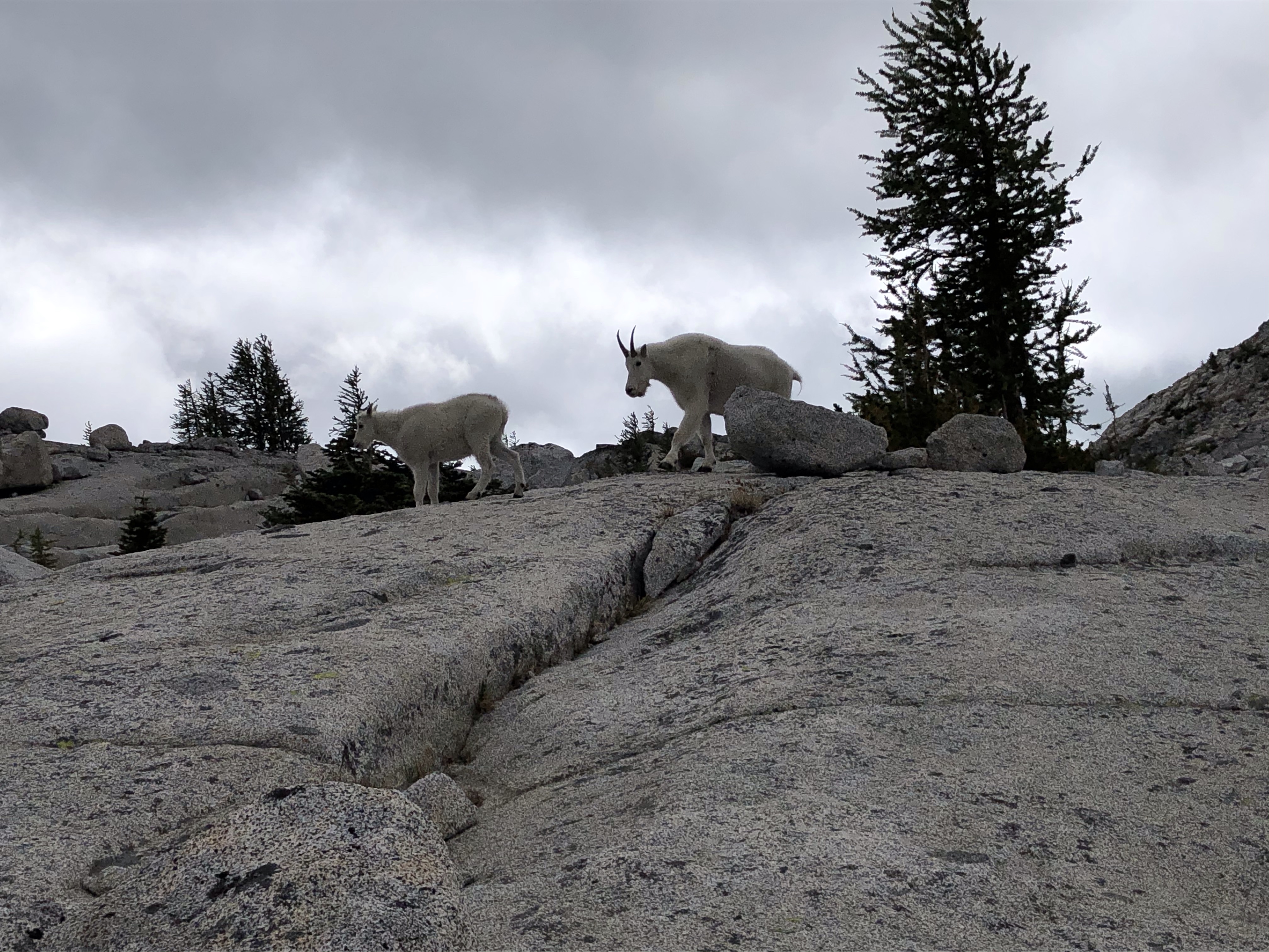
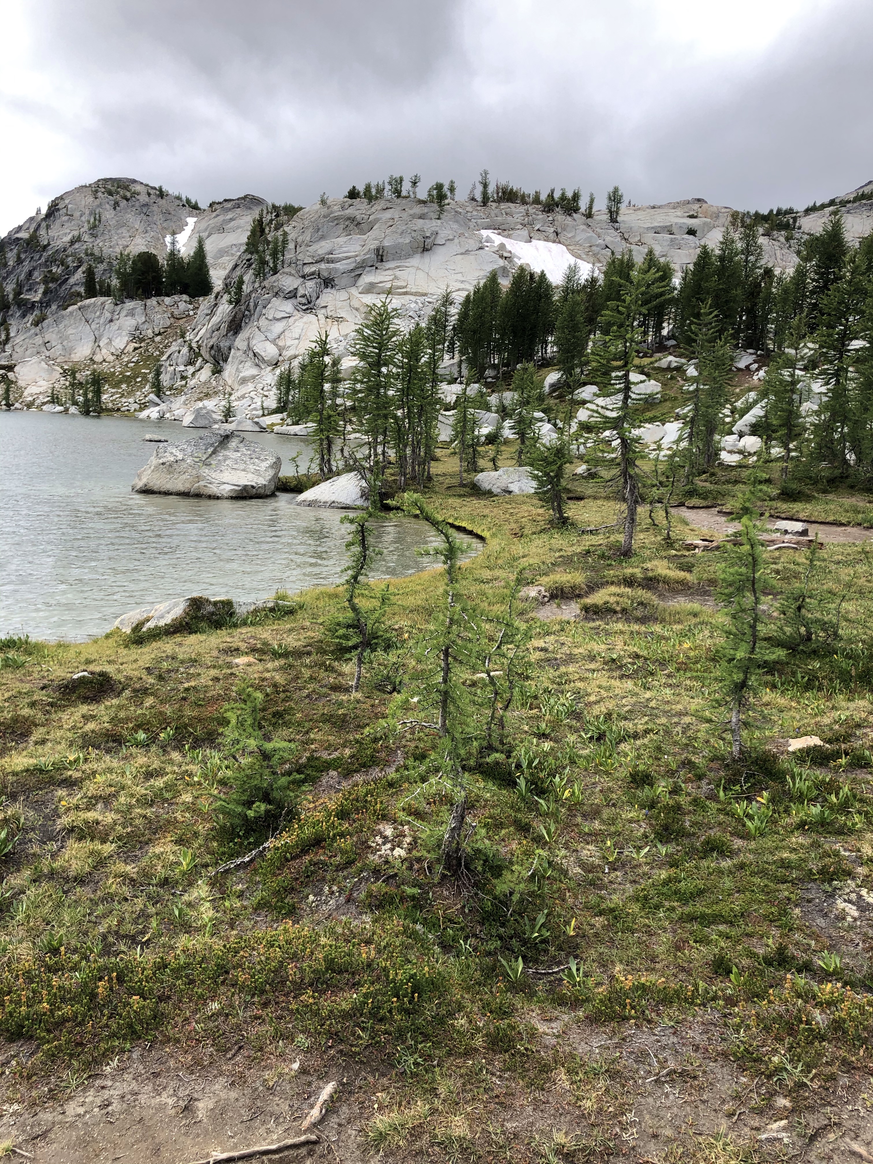
Once on top, we stopped to grab some more water and food and set out to hike through the Enchantments to Lake Perfection. It was amazing how beautiful it is up there. The photos don’t do it justice. The day was overcast and windy, but it still felt like we were walking through a fairy tale land.
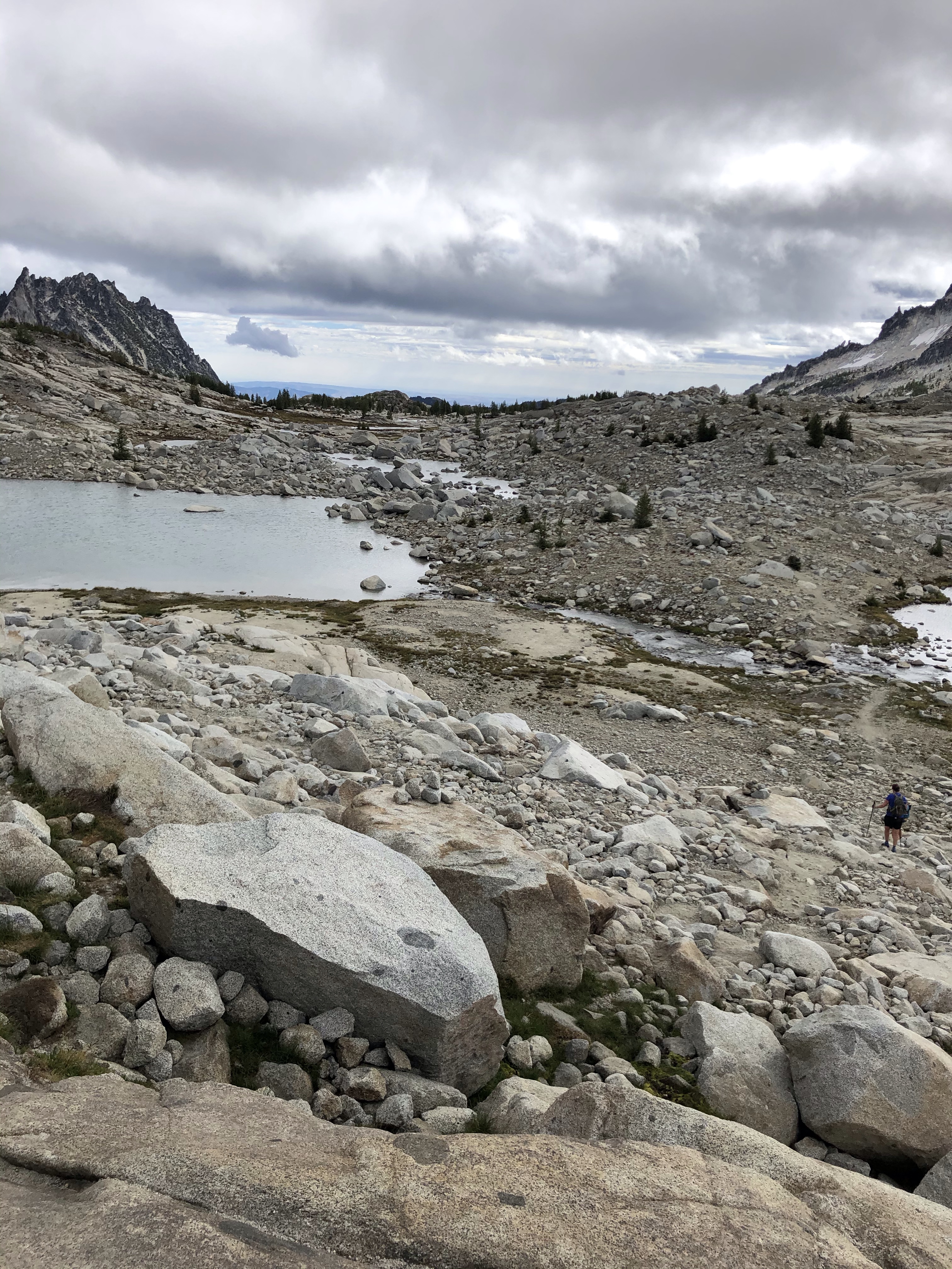

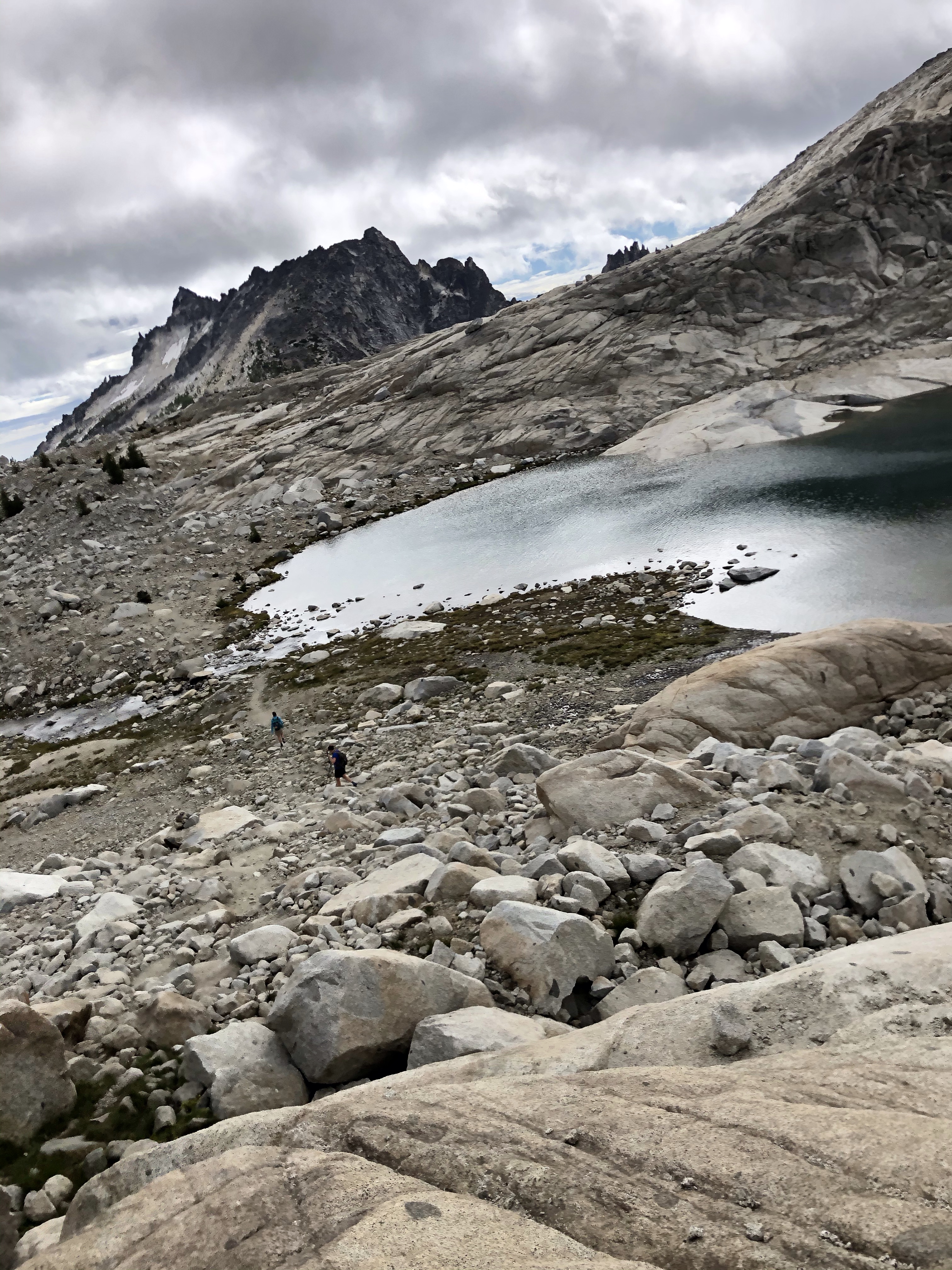

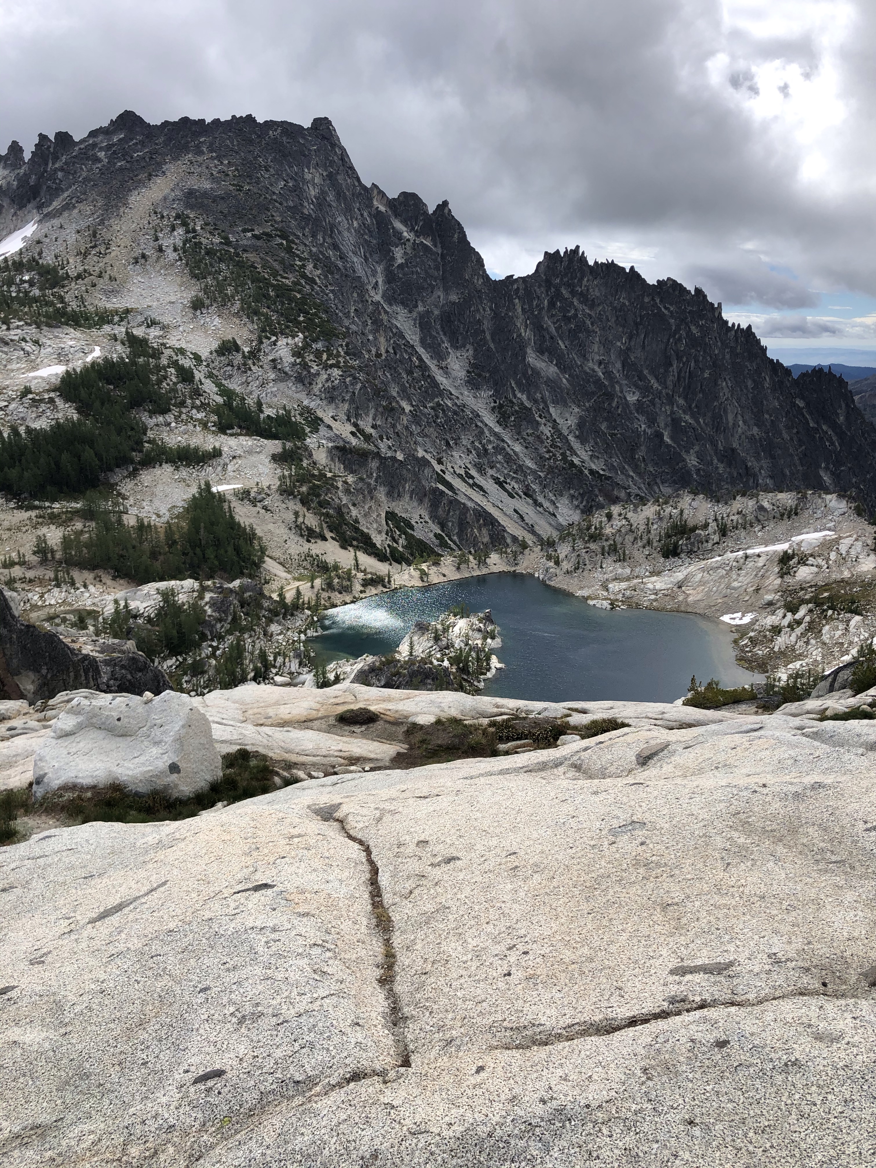
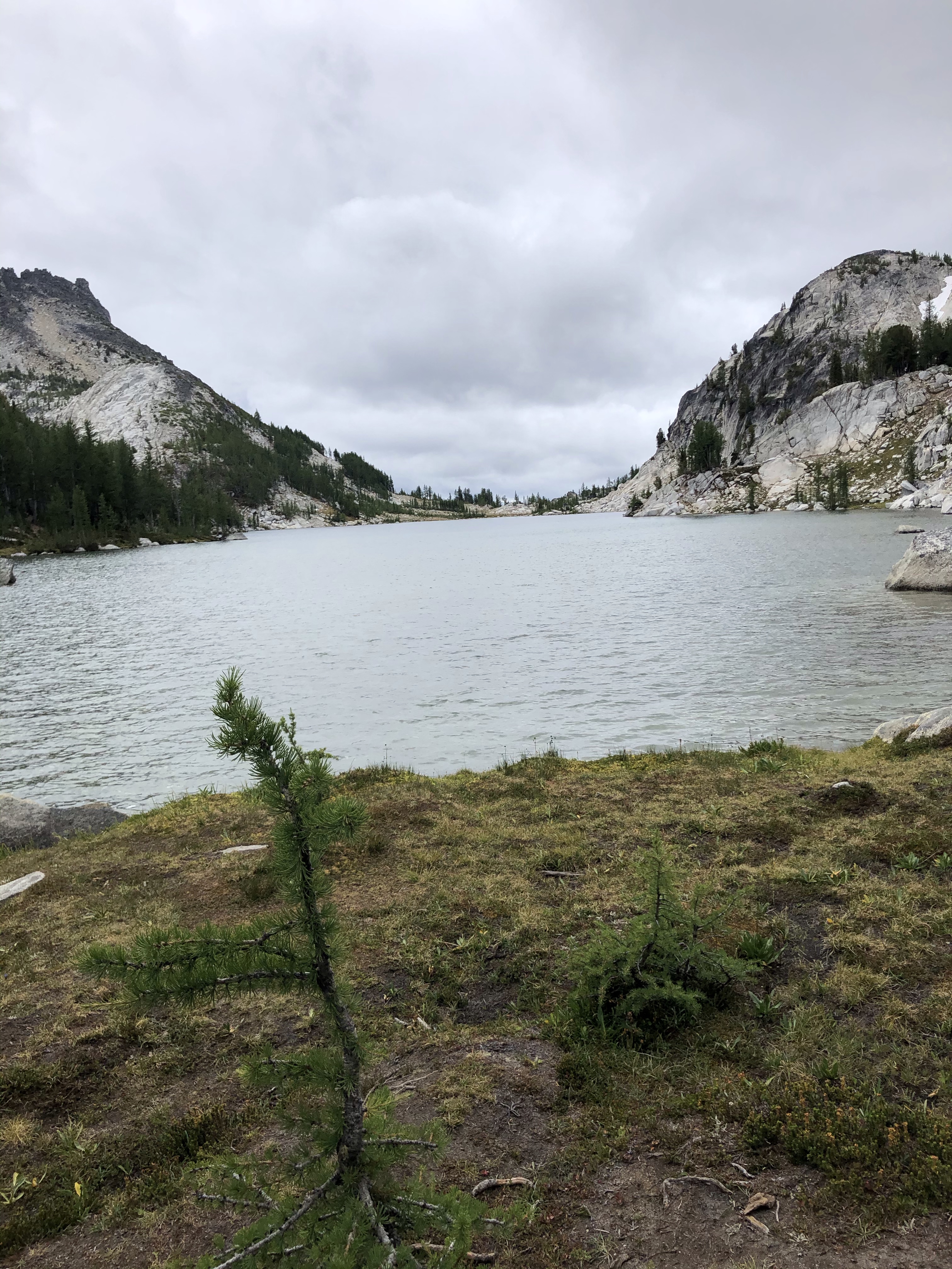

Perfection Lake – where we stopped to eat lunch and regroup before heading down Assgard.
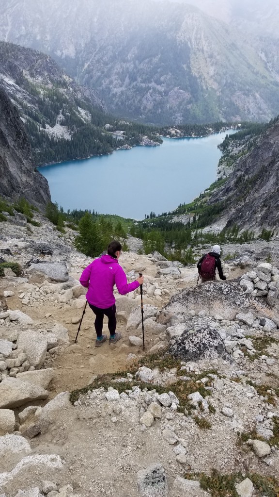
After lunch at Lake Perfection we headed back towards Aasgard Pass and prepped ourselves for a hard walk down the pass and back to camp. The way down Aasgard was by far the hardest part of the whole hike. The ground was super soft and sandy – making each step a challenge to not fall. On top of this, it started dumping rain which made the descent slippery, cold, wet, and frightening. As we were coming down the pass we could hear rocks falling up ahead from the heavy rains. At this point we decided to move a little faster and get off the mountain. It was so surreal hearing rocks crashing, being soaked by the rain, and the adrenaline rush to get down safely.
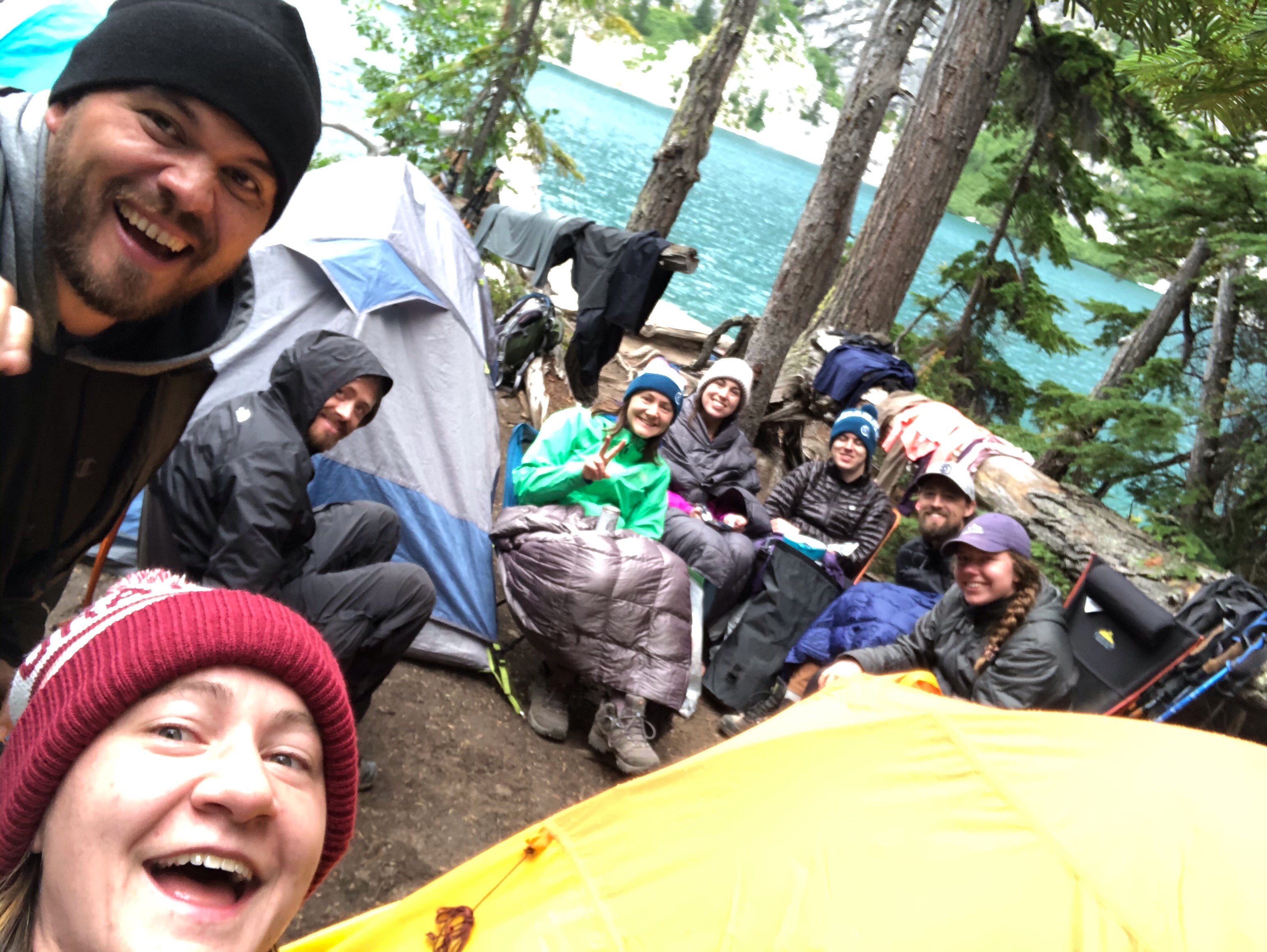
After what felt like we hours we finally made it down from Aasgard and back to camp. At camp we gorged ourselves with food, changed into dry clothes, hung out for a bit, and went to bed around 8pm that night. We were all so tired and cold from the hike. It felt so good to crawl into my sleeping bag to get warm.
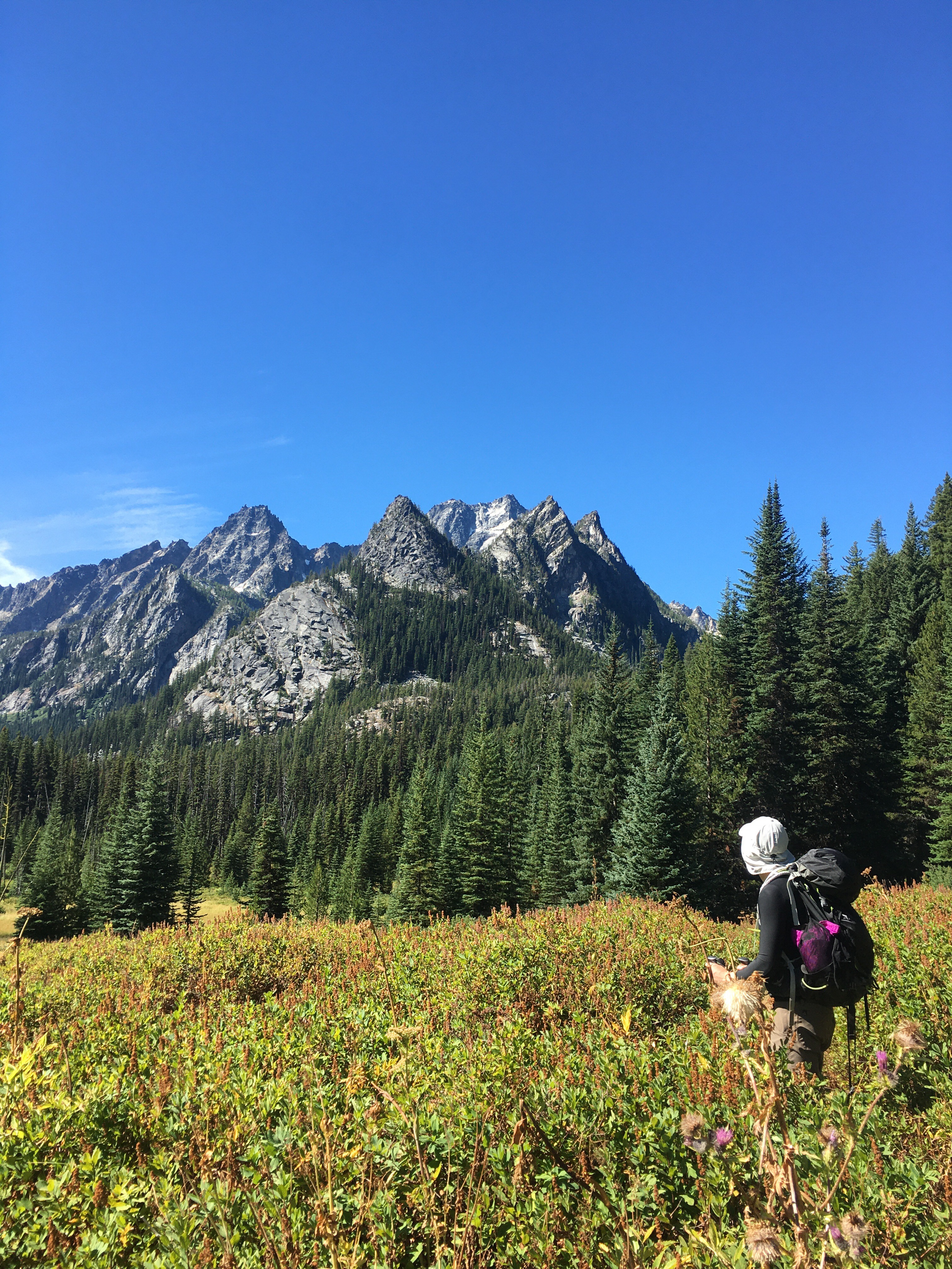
The next morning I woke up fairly sore. My legs were stiff and there was no way I was going to be able to do Aasgard again. There was talk of going up a second time, as some people in our group weren’t able to go up yesterday with us. I opted to go with the others who were feeling the same as me and hike down from Colchuck Lake to Stewart Lake. This was about a 9 mile hike round trip. It had about the same elevation gain we had the first day hiking up to Colchuck.
Views hiking to Stewart Lake. 
Stewart Lake
Once we got to Stewart Lake we found a beach spot, had some food, cracked open a cold beer, and headed back up to Colchuck Lake. We got back to Colchuck around 3pm with enough time to swim in Colchuck Lake and hang out for the rest of the day. Once everyone was back at camp we ate dinner, socialized, and stayed up to star gaze. We saw a few shooting stars and a bunch of satellites. There were also people rock climbing down from Dragon Tail in the dark. It was cool to see their headlamps glow from afar and see the progress they made. We eventually called it a night and all headed for bed.

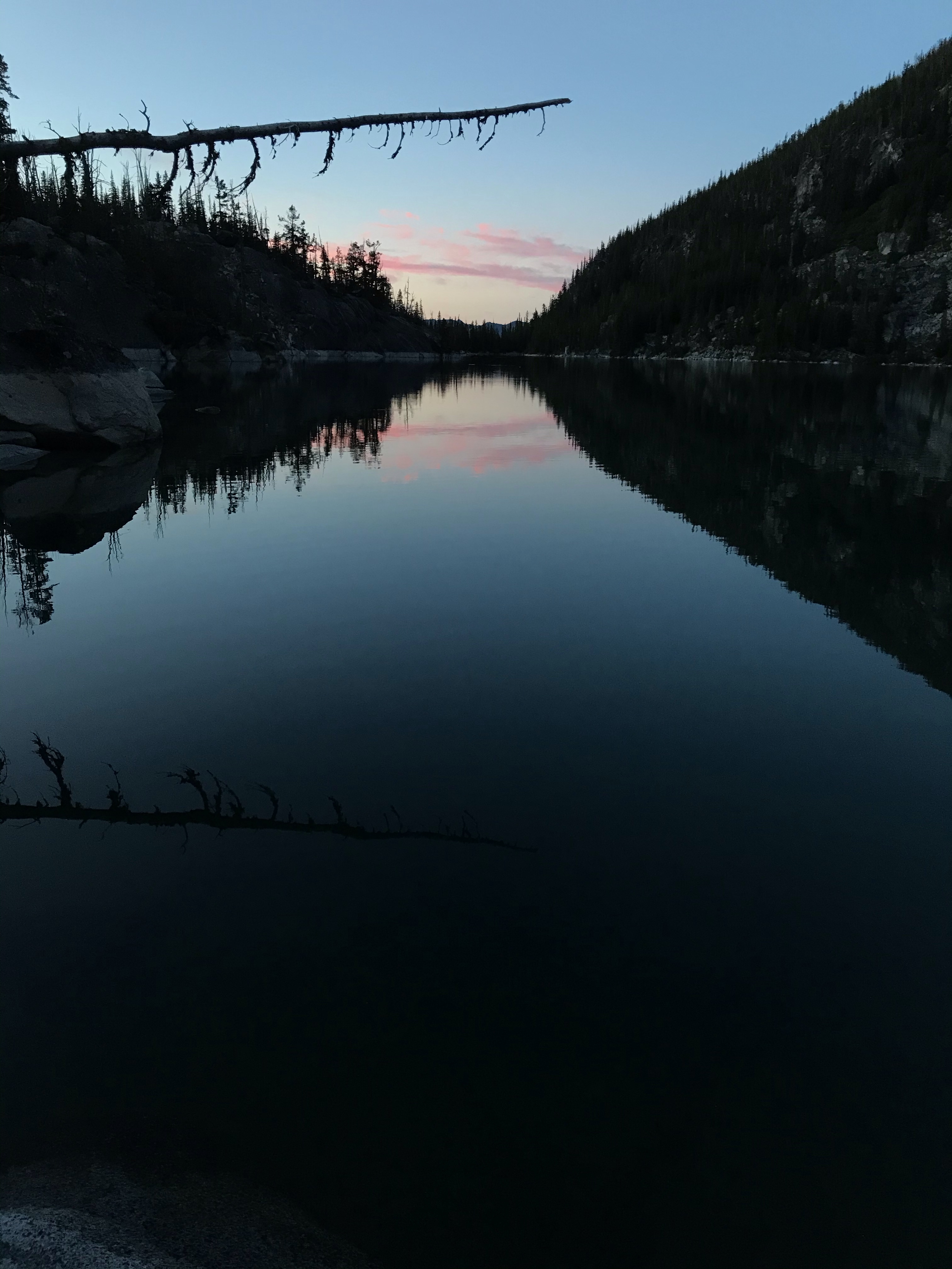

Dragon Tail as the sun was setting 
Huddled up, ready to watch the stars. 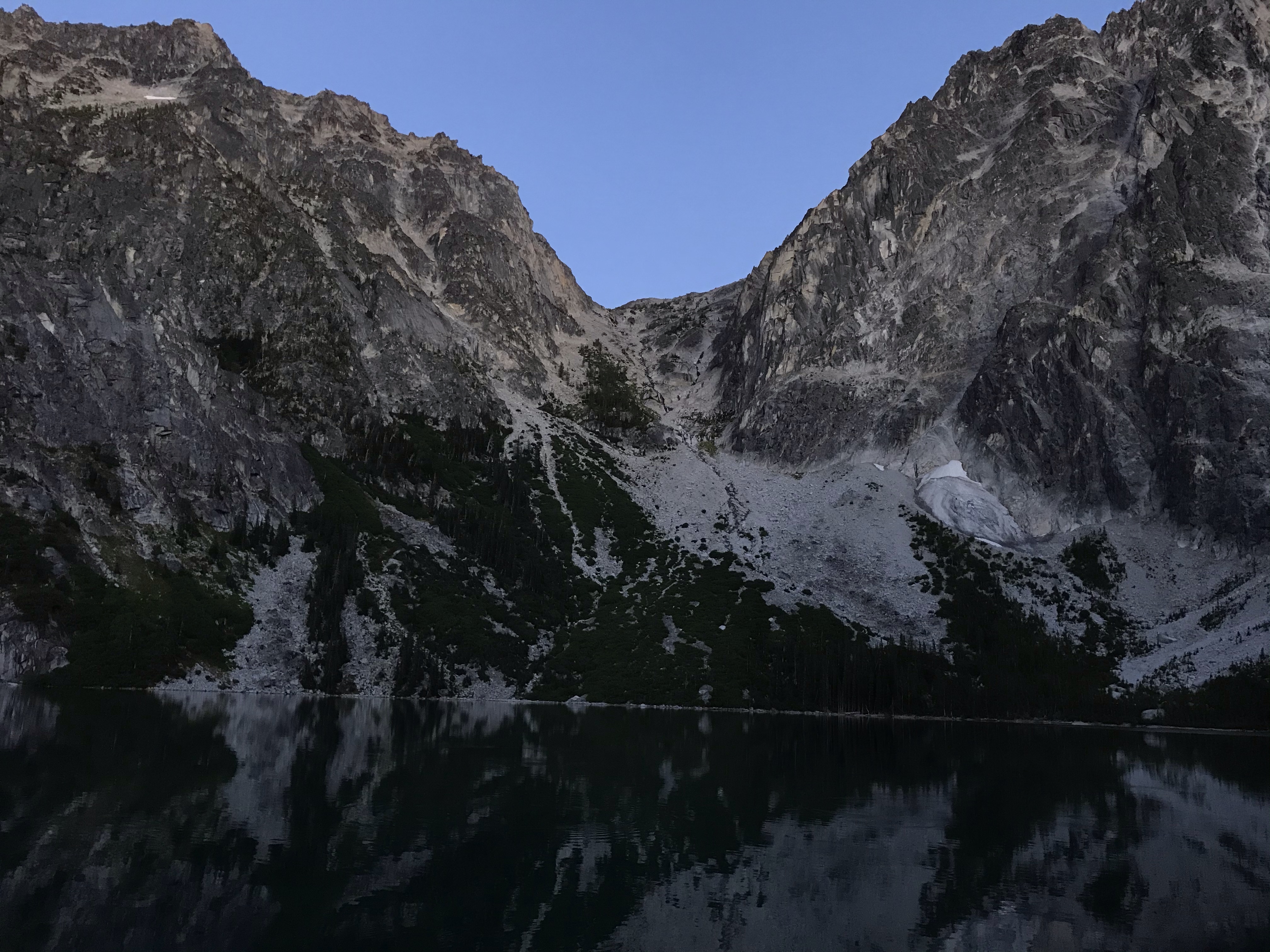
Assgard pass as the sun was setting
The next (and final morning) camping at Colchuck was spent enjoying our last breakfast together and packing our backpacks to head back down to the car.
It was sad, but also it felt really good knowing we would be heading back home to fresh clothes, running water, and a shower. It took us about 3.5 hours to get down from Colchuck. It was such a relief to see the parking lot and cars at the end. We all piled into the back of Erik’s jeep and drove into Leavenworth. We got some food and beer in town then hit the road to head home and back to reality.
Overall this trip was so much fun! We were able to get a bunch of hiking in and not be rushed to finish it all in one day. I’m so glad we were able to camp / backpack and definitely will not take the opportunity for granted. This was a once in a lifetime chance and worth every minute of the soreness, tiredness, and heaviness of our bags. Who knew you had so many tendons in your knees! This was the one part of my body that stayed sore a few days after we were home from the trip.
US huddled up after hiking up Assgard and being exhausted 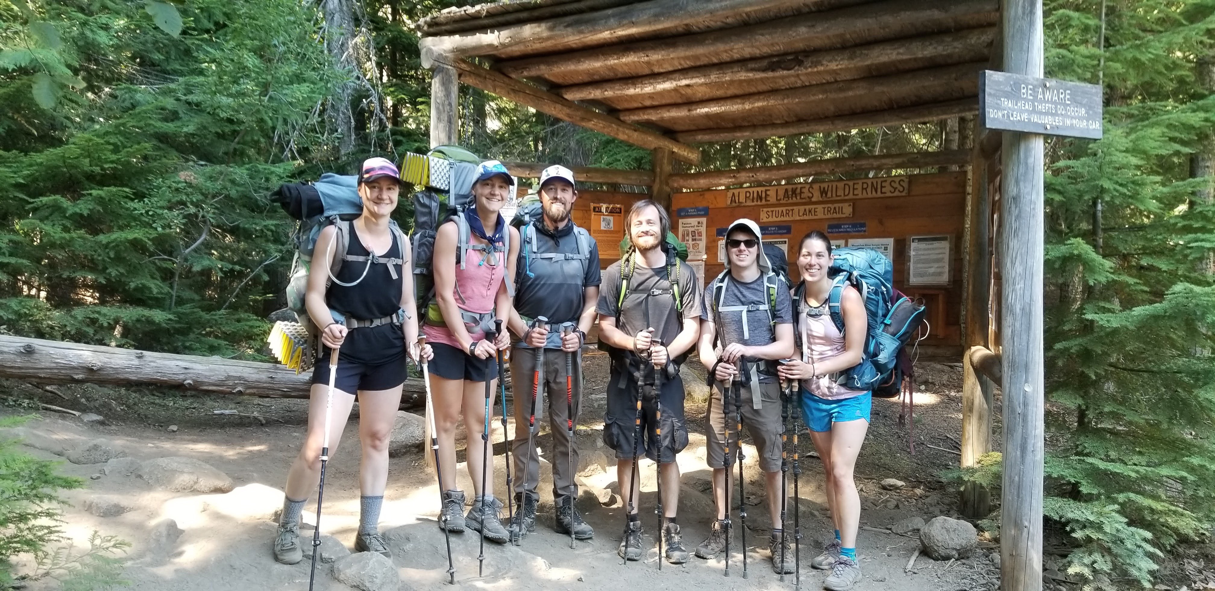
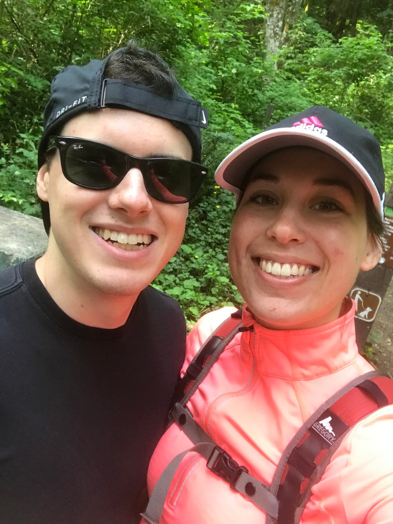
We did it!!! We made it back down from Colchuck Lake. I bitter sweet ending to great trup.